
Clarence Neighbors by Parcel
The immediate block is best built from parcel geometry, not a guessed postal radius. Erie County GIS lets you locate a target, click its parcel, then pan and click each adjoining polygon. The Clarence assessment roll and PROS search can confirm the owner and tax-mailing fields for a parcel. The Erie County Clerk’s documents then help test an ownership transfer through party names, a book/page, or an instrument number. Those sources identify different relationships, so keep the parcel owner, mailing recipient, and historical occupant as separate labels.
| Block source | What it can show about a block | Clarence access and limit |
|---|---|---|
| Erie GIS On-Map | Parcel shape, adjoining SBLs, address, owner and mailing attributes, plus map layers | Public click-and-pan viewer; data can be stale and is not a legal survey |
| Clarence PROS and assessment roll | Owner, mailing address, class, values, exemptions, SBL, and deed reference for each parcel | Address or SBL search; no complete list of occupants |
| Erie County Clerk records | Recorded transfers, mortgages, liens, parties, and legal descriptions | Search by party, book/page, or instrument; online cutoffs apply |
| Erie BOE voter file route | Potential address, T/W/D, and voting-history fields for a lawful election request | Written elections purpose required; not a neighborhood directory |
| Historical directory and map sources | Former printed occupants, street context, building footprints, and community clues | Coverage is incomplete and often inquiry-based |
A corner parcel can face two roads. A long lot may touch several addresses. One number can recur in a subdivision. That is why a map scale, SBL, and access date matter more than a quick list of nearby street numbers. The map establishes adjacency; it does not identify every member of a household or prove that a mailing recipient occupies the property.
Clarence Neighbors in GIS Fields
Erie County’s parcel REST layer exposes the fields behind the map. The key bridge is the PIN or SBL. The layer also includes situs-address components such as ADDNUM, ADDNAME, and LOCALZIP, owner fields OWNER1 and OWNER2, and separate tax-mail fields including MAILAD1/2, STREET, CITY, ZIP, and ZIP4. Physical and roll attributes can include class, property type, deed date, book/page, acreage, dimensions, value, and year built.
The parcel-layer field view is useful for recognizing why a map distinguishes the property location from the tax-contact address.
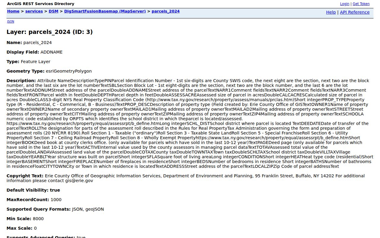
Read an owner field as a parcel relationship, then use the SBL and recorded document details before describing an ownership change.
On-Map also provides aerial imagery, custom-map creation, and layers for streets, ZIP codes, school and legislative districts, water, wetlands, floodplains, agricultural districts, and soils. Those layers can make the block easier to place, but school and ZIP boundaries do not define a neighborhood association or prove an attendance assignment. The viewer’s own disclaimer says its coordinates and boundaries are not a legal survey.
Note: Preserve the SBL and the date accessed for every parcel so a later check can account for a boundary or assessment update.
Mapping Clarence Neighbors Parcel by Parcel
Start with the actual address or SBL, not a claimed distance from it. Erie County’s public map supports locate, click, pan, and zoom actions, while the underlying service supports queries and distance operations. The research did not locate an official default radius or a named adjacent-parcel buffer distance, so the dependable method is to identify the polygons that visibly share a boundary with the target and save each record separately.
- Find the target in Erie County On-Map, click the parcel, and record its address, SBL or PIN, owner field, mailing field, and map date.
- Pan and click only the adjoining polygons. For each one, save the situs address, SBL, owner or entity field, mailing field, class, and access date.
- Cross-check a disputed or important owner entry in Clarence PROS, then follow the deed book/page or party name in the Erie County Clerk index.
- Use the document’s legal description, parties, date, and instrument identifier to verify a transfer. Do not substitute a street label for the parcel identity.
The flow is address to SBL, SBL to surrounding polygons, parcel fields to PROS, then deed index for an ownership question. For a full named street rather than the immediate block, the Clarence street directory follows the longer address-record chain.
Clarence Owner and Mailing Roles
Property location, owner, and mailing recipient are not interchangeable. The assessment roll identifies a parcel’s situs location and current owner fields, while the mailing address is where tax correspondence goes. A trust, estate, corporation, or other entity in an owner field is an ownership clue, not a list of people at the location. A mailing address in another postal community can still belong to a Clarence parcel.
- Situs address
- The physical location of the parcel. It anchors the map and assessment record.
- Mailing address
- The correspondence destination used for the owner’s tax record. It can differ from the situs address.
- SBL or PIN
- The tax-map identifier that connects the map, assessment record, and deed trail more reliably than an address label.
- Historic occupant
- A person shown in a dated directory or census source. That label is not proof of a current connection.
Clarence’s documented example at 8056 Tonawanda Creek Road has a Clarence property location and an East Amherst 14051 owner mailing address. It is a useful reminder to preserve both fields exactly as the public record presents them. A tax-roll owner is not a complete current-resident list, and an exemption code is not proof of who lives at the site.
Clarence Voter Files Need an Elections Purpose
New York’s individual voter registration lookup requests county, last name, first name, date of birth, and ZIP. It does not provide a public browse-by-street tool. Erie County’s FOIL form can offer geographic T/W/D and address-related options, but Election Law §3-103(5) requires an elections purpose for voter-registration records. Election Law §5-508 also protects qualifying voter records. A public parcel map should not be turned into a street-wide voter roster.
For a lawful individual check, use the New York voter lookup and retain only the result needed for that purpose. A protected or empty result is not proof that someone is absent from the block. It may reflect a protected registration, a name variation, a move, or a limitation in the index.
Clarence Neighbors Across Five Hamlets
Clarence has five named hamlets: The Hollow or Clarence Hollow, Clarence Center, Harris Hill, Swormville, and Wolcottsburg. The Town has no incorporated villages. A deed, directory, map, or family record may use one of these community labels even when the parcel record reads Town of Clarence. The labels help make older records legible, but they are not verified association boundaries and should not be used to draw a fictional neighborhood line.
Postal geography adds another layer. A Clarence address may be associated with Akron, Clarence, Clarence Center, East Amherst, or Williamsville text. Compare the parcel’s SBL and town field with the map rather than treating the postal city as a municipal boundary. The Town’s maps page provides street, ZIP, zoning, fire, sewer, and Greenprint map routes for this geographic context.
Note: A hamlet heading can locate a historical source, but it does not create a current neighborhood roster or replace the parcel boundary.
Historic Clarence Neighbor Clues
For a former neighbor, pair the present parcel with dated sources rather than treating a current owner as a time machine. The 1946 Library of Congress Clarence Sanborn set has five sheets and related place labels for Clarence Center, Harris Hill Gardens, and Swormville. It supplies building and lot context, not names. A county directory, address book, or census can then supply a dated people clue, while a deed establishes an ownership transfer.
New York Heritage’s Buffalo Address Book and Family Directory collection covers 1883-1916 and provides the historical entry conventions useful for an address-first search.
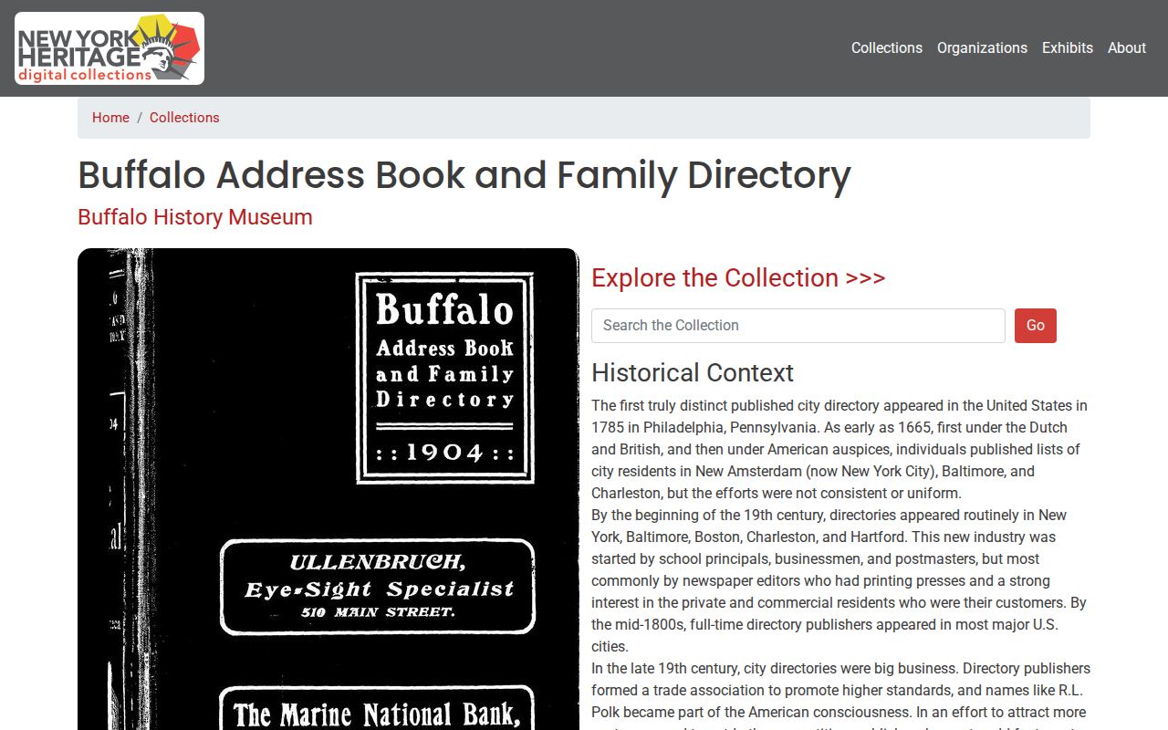
Use a printed address entry as a dated household clue, then compare its spelling, street number, and locality against maps and deed records.
Coverage matters. The Buffalo address books are not a complete, continuous Clarence roster, and a scanned Clarence-specific entry was not located. The Buffalo & Erie County Public Library’s regional directory shelf is the better in-person route for county and suburban material. Record the book title, year, page, printed address, and name exactly as shown before linking it to a modern parcel.
Clarence Community History Contacts
Current association and congregation rosters were not located in the official source set. The reliable community layer is historical and inquiry-based. For a narrow question about a property, cemetery, school, church, map, photograph, or oral history, name the address or hamlet, a date range, and the exact item sought. Do not describe these research contacts as current household directories.
Town Historian
The Clarence Town Historian lists genealogy material, photographs, military records, selected property histories, newsprint, oral histories, cemetery, church, and school sources, plus maps, diaries, and scrapbooks. Confirm current availability before visiting.
Historical Society
The Clarence Historical Society research center accepts targeted research inquiries and can direct a search toward local photographs, objects, and genealogical material. It is not a current member list.
The Town Historian’s holdings page is the starting point for the local historical material described here.
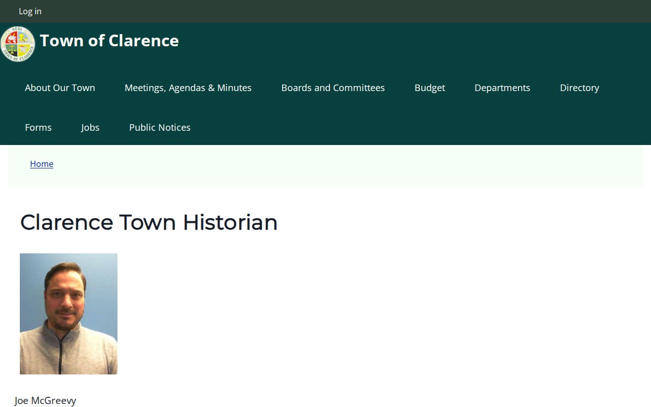
These contacts can supply historical context around a block, but an inquiry should remain tied to a period and source rather than a request for a current roster.
Note: Historical contacts can point to relevant material, but availability and access conditions should be confirmed before travel or a detailed research request.
Privacy Limits for Clarence Neighbors
A block lookup stops at the public record’s stated boundary. Parcel maps can identify land and recorded owners, but they do not disclose every occupant. Utility customers, delivery information, DMV addresses, sealed matters, and protected-voter records are outside this ordinary public chain. New York’s Address Confidentiality Program protects an eligible participant’s actual residence through a substitute mailing address, so a blank field should never invite speculation.
| Official-record approach | Compiled neighbor tool category |
|---|---|
| Shows a specific custodian, source date, parcel or case identifier, and access rule. | Can combine old property, directory, court, and marketing data with different update cycles. |
| Lets you test an ownership or historic-address claim against the underlying record. | Can merge same-name people, retain outdated addresses, or omit protected records. |
| Supports a targeted correction or records request through the custodian. | Does not replace the record held by the assessor, clerk, court, election office, or archive. |
When a public entry appears inaccurate, contact the office that holds it. For a protected-address question, review the New York Address Confidentiality Program information rather than trying to fill a gap from other sources.