
Walk a Clarence Street by Address
A Clarence address can lead to several public records, but each answers a narrower question. The assessor and GIS tools identify a parcel and its recorded ownership fields. The Erie County Clerk ties names and legal land references to recorded documents. Printed directories may add a historical association. A voter lookup is not a browseable street roster, and it must be used only within New York's elections-purpose rules. Keep owner, mailing recipient, and historical occupant as separate labels when you record a result.
- Enter the street address or SBL in the Clarence PROS property search. Copy the property location, parcel identifier, current owner field, mailing field, and deed book/page if shown.
- Open the same location in Erie County On-Map. Click the parcel, then pan along the Clarence street and record the SBL or PIN for each parcel being compared.
- Use the SBL, legal description, book/page, or party name in the Erie County Clerk Official Records search. The clerk search is indirect, not a street-address search.
- For a recorded voter, use the state name-and-address lookup or make a focused Erie Board of Elections request only for an elections purpose. Do not treat either route as a public list of every person on a Clarence street.
- For an earlier printed household clue, use the regional and reverse-directory route described in the Clarence city directory collections, then verify the address against a dated parcel or deed record.
Note: Record the access date, exact address spelling, and source link because assessment cards, GIS layers, and ownership documents update on different schedules.
Search a Clarence Street in PROS
The Town of Clarence Assessor uses PROS for parcel assessment information, inventory, and comparable sales. In Quick Property Search, open Search Filters and the Property Search Form, enter an address or SBL, submit the search, then select the property address in the results. The assessor's guide also describes comparable results that can be narrowed with sale date, house style, square feet, and acres. That is useful parcel context, not proof that a named owner occupies the property.
| PROS field | Input type | When to use it | Research limit |
|---|---|---|---|
| SBL | Text | Search the tax-map parcel identifier | Copy punctuation from the roll or portal |
| Address | Text | Find a Clarence situs address | Exact and partial matching rules were not published |
| Sale Date Min | Date or year filter | Refine comparable results | The guide recommends looking back two years |
| House Style | Dropdown | Refine comparable results | Full option list was not captured |
| Square Feet and Acres | Dropdown or range | Refine comparable results | Full option list was not captured |
The official Clarence PROS parcel search is shown below. It is the starting point for the address and SBL workflow, not a substitute for the deed record or a complete list of people at an address.
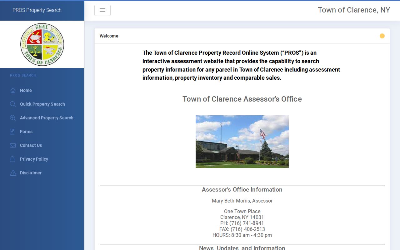
After selecting a property address, preserve the parcel reference before moving to the map or county clerk. That reference helps keep two similar Clarence addresses from being mixed together.
Browse Clarence Street Parcels in GIS
Erie County On-Map is the practical street-browse tool for Clarence. Search or locate a parcel, click it for parcel information, and pan to adjoining road frontage. The viewer offers aerial imagery, custom map creation, layer toggles, and parcel browsing. Its published layers include streets, parcels current to 2025, ZIP codes, school and legislative districts, water, wetlands, floodplains, agricultural districts, and soils. A map click supplies a location and parcel clue that should be checked in PROS and the Clerk index.
| GIS field or control | Street-search use |
|---|---|
| Parcel, SBL, or PIN | Identifies the mapped tax parcel and bridges it to assessment and deed records. |
| Address, ADDNUM, ADDNAME | Shows the situs road number and name, with alternate address fields in the parcel schema. |
| OWNER1 and OWNER2 | Shows current parcel-owner fields, which do not establish every occupant. |
| MAILAD, STREET, CITY, ZIP, ZIP4 | Shows tax-mailing fields separately from the physical parcel location. |
| Layers and query output | Adds ZIP, district, flood, wetland, soil, or other mapped context; query, GeoJSON, statistics, and pagination are documented for the REST service. |
The Erie County GIS viewer provides the mapped parcel view used for this step.
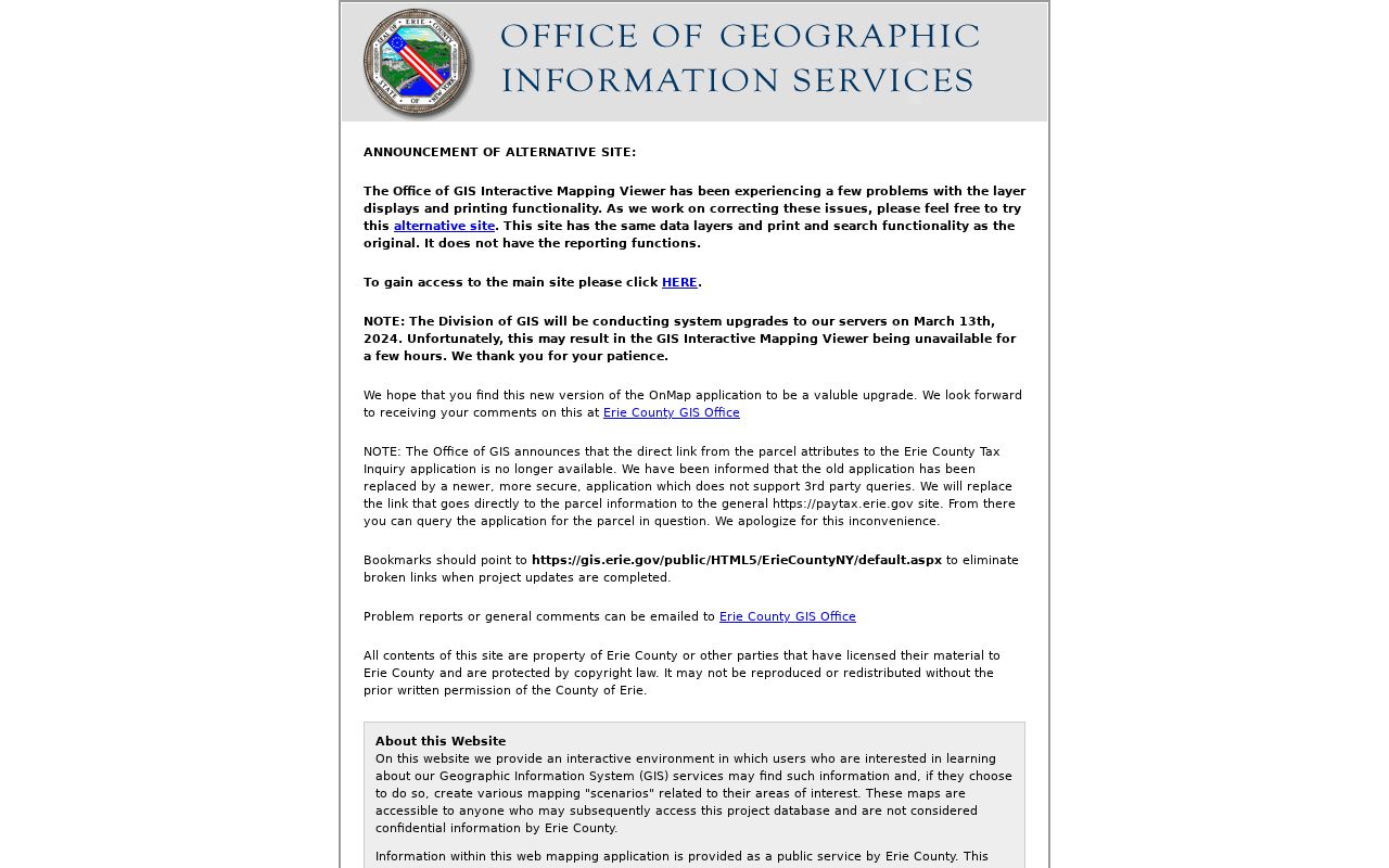
GIS is a public-service map, not a legal survey. Erie County warns that data can be stale, updates are not guaranteed monthly, and parcel boundaries should not be treated as a final legal boundary.
Follow a Clarence Street to the Deed
The most useful Clarence street-directory quirk is that the county clerk does not start with a street-address field. The documented route is address to parcel or SBL, then deed book/page or instrument/file number, then Party Name or Book/Page in the clerk system. Search the owner name with spelling variants, use the Town filter and date range when available, and compare the legal description with the mapped parcel. This chain is stronger when the names, book/page, legal text, and parcel references agree.
The online land index begins in 1986. Deed images reach 1960, mortgage images reach 1980, and other land images generally begin February 21, 1994. The Erie County Clerk retains deed books from 1808 and mortgage books from 1840. When an online result lacks an image, use the book/page with the older books, alphabetical Graves Index volumes, or an office request rather than assuming the document is gone.
- Parcel
- A tax-map unit of land identified in Clarence by a parcel number, SBL, or PIN.
- Situs address
- The physical location of the parcel. It is different from the owner's tax-mailing address.
- Plat
- A recorded map or plan that can identify lots, blocks, streets, or a subdivision reference.
- Book/page
- The volume and page reference used to locate a recorded document, especially useful for older Erie County records.
For a copy request, the Erie County Clerk records page documents both online and office routes. A request can identify the property address, municipality, known owner, approximate date, and book/page or instrument number. Public terminals are available at the clerk's Buffalo office, while known documents can also be requested by the clerk's stated copy process.
Note: An online index hit without an image can still supply the date, parties, and book/page needed for an office request.
Keep Clarence Situs and Mailing Fields Separate
Clarence assessment information deliberately separates where a parcel is located from where tax correspondence goes. The inspected 2025 tentative roll example for 8056 Tonawanda Creek Road identifies that Clarence property location, while the listed owners' mailing address is East Amherst, NY 14051. The example includes tax-map number 5.00-1-2.1 and deed book 11062, page 1874. It illustrates a records rule, not a statement about who currently lives at either address.
PROS and the annual roll can show owner, mailing address, class, values, exemption codes, physical inventory, district fields, and deed book/page. The GIS schema likewise has separate owner and mailing fields. An exemption is an assessment flag, not evidence that a particular person resides on a Clarence street. Mark each field by its source label before comparing it with a deed or historical directory.
Clarence Street Files at Town Offices
Some useful address records are not public web searches. The Clarence Building Department keeps files that can connect an address with an applicant or owner, permit category, filing date, approval or inspection trail, and sometimes plans. The office lists categories such as new construction, alterations, accessory structures, mechanical work, demolition, pools, and related work. A public online permit or code-case index was not located, so start with the exact street address and ask the office about the specific file.
Planning and Zoning files and plans are described as public for office review. The Planning and Zoning FAQ and department route are helpful when an address question involves a lot line, subdivision, survey, variance, or proposed use. A fence application can require a survey showing structures, streets, lot lines, and required yards. That can preserve a dated physical layout even though it is not an online address index.
For non-exempt town records that are not otherwise available, the Clarence FOIL form route accepts an in-office or online written request. The town says it will grant, deny, or acknowledge a request within five business days. Describe the address, desired file, and date range; FOIL does not override confidentiality rules.
Clarence Street Directory Record Coverage
Address-keyed sources do not all show the same thing. The table separates a parcel owner from a historical printed name, a recorded party, or a building-file applicant. Use the source that matches the question and retain the access limitation with the result.
| Address-keyed source | Custodian | What it can show | How it is reached |
|---|---|---|---|
| PROS assessment parcel | Clarence Assessor | Owner, situs, mailing field, SBL, class, values, inventory, and deed book/page | Public parcel portal or assessor help |
| On-Map GIS parcel | Erie County GIS | Geometry, SBL/PIN, address, owner and mailing attributes, and map layers | Public map click or query, with map disclaimer |
| Deed or mortgage | Erie County Clerk | Grantors, grantees, dates, consideration, legal description, and linked documents | Index and images by coverage date, then office books |
| Building or planning file | Clarence Building or Planning office | Applicant, work category, plans, survey, and retained inspection dates | In-office public-file request; online index not located |
| ZIP map and USPS route | Town of Clarence and USPS | Postal city, ZIP, road grid, and post-office route | Town map and USPS verification |
| Historical reverse book | Library and New York Heritage collections | Printed address, household or family clue, and historical phone or business context | Regional collection; coverage is incomplete |
A Clarence parcel is the stable bridge through this table. Street names and postal labels can change, but the SBL, parcel geometry, and legal description give the records a common reference point.
Note: A parcel owner, a tax-mail recipient, a deed party, and a historical directory entry are distinct roles that need separate labels.
Clarence Street Voter Requests Have Limits
New York's public voter lookup asks for county, last name, first name, date of birth, and ZIP. It is designed for an individual registration or poll-site check, not for browsing everyone on a Clarence street. Erie County's voter-file FOIL form offers a geographic T/W/D field and an Address sort, along with selected information and format choices. That form requires a stated elections purpose, and Election Law §3-103(5) limits voter-registration-record use to an elections purpose.
The New York voter lookup can help reduce a same-name problem when used with the permitted fields. The Erie County Board of Elections form is the documented request route for a defined geographic election record. Protected-voter records remain confidential under Election Law §5-508. The statewide VEDA database, effective in 2026, separates aggregated election data from individual voter records rather than creating a public street roster.
A no-match can reflect spelling, a move, maintenance, or a protected record, so it does not establish that a person is absent from Clarence.
Clarence Streets Cross Postal Labels
One Clarence road may move through postal areas that use Akron, Clarence, Clarence Center, East Amherst, or Williamsville labels. The official 2025 Clarence ZIP map includes a street index and grid for this local check. It also warns that construction can modify ZIP boundaries. A postal label is useful for mail verification, but it does not establish the legal town boundary or replace the parcel's town and SWIS fields.
Use a specific street number with USPS when a delivery ZIP is uncertain. The tax-map SBL or PIN, the GIS parcel, and the official assessment location are the better bridge when a Clarence street has an East Amherst, Akron, or Williamsville mailing label.
Note: The local map is a dated postal reference, so retain its year when comparing a Clarence street label with an older record.
Limits of a Clarence Street Directory
A public parcel chain can identify an owner, mailing recipient, recorded party, or historical printed entry. It cannot establish every person who lives at a Clarence address. Household members, utility customers, delivery information, and DMV addresses are outside this ordinary public chain. A protected voter, Address Confidentiality Program participant, sealed record, or blank field can also produce an intentionally limited result.
Use the official custodian for a copy, preserve the source date, and avoid publishing sensitive information from a scanned record. The Erie County Property Alert can send voluntary notices for SBL or party-name matches, but it does not prevent fraud and exact name variants may need separate registrations.